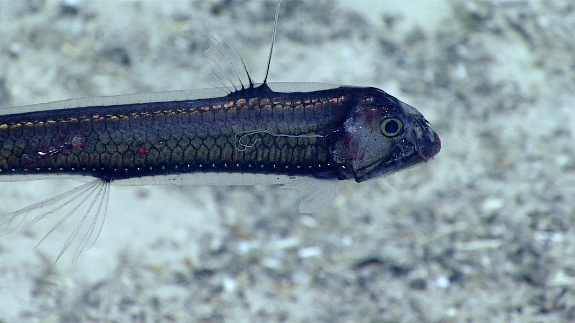
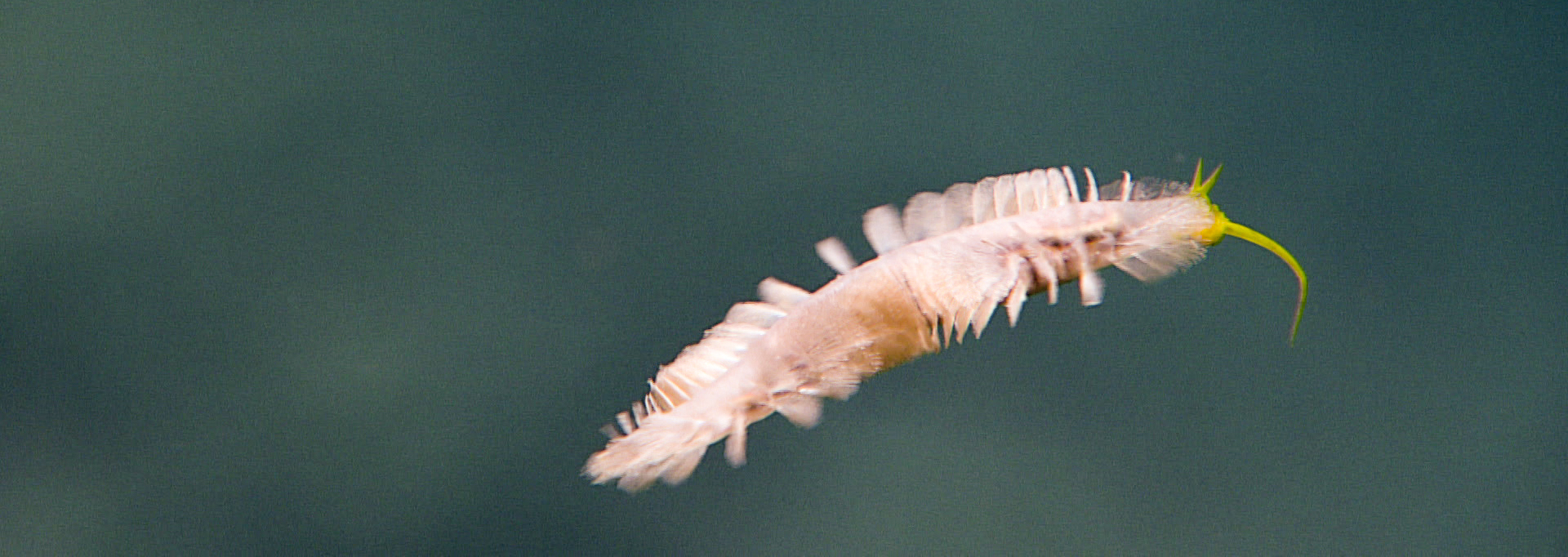
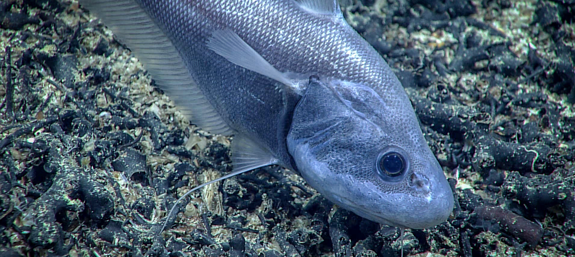
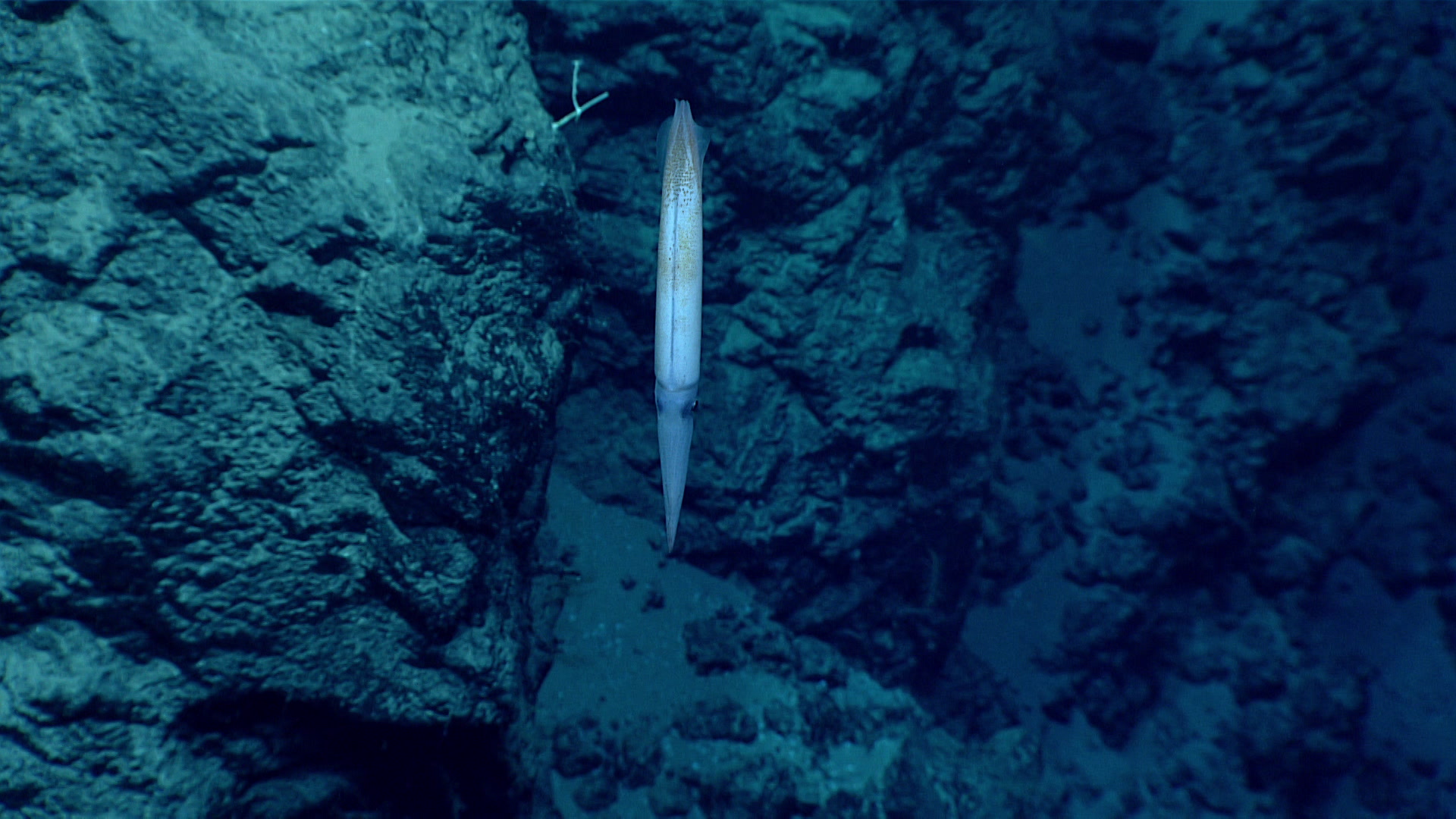
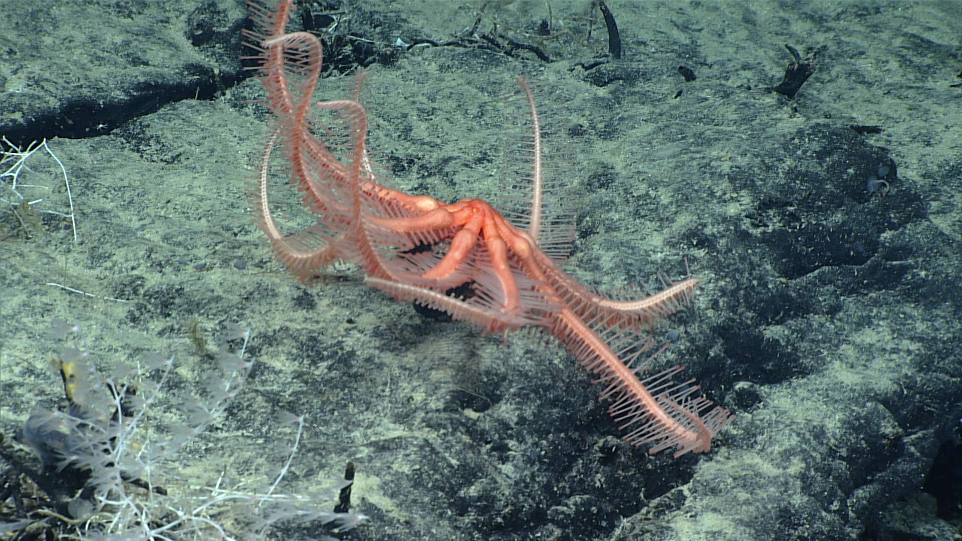
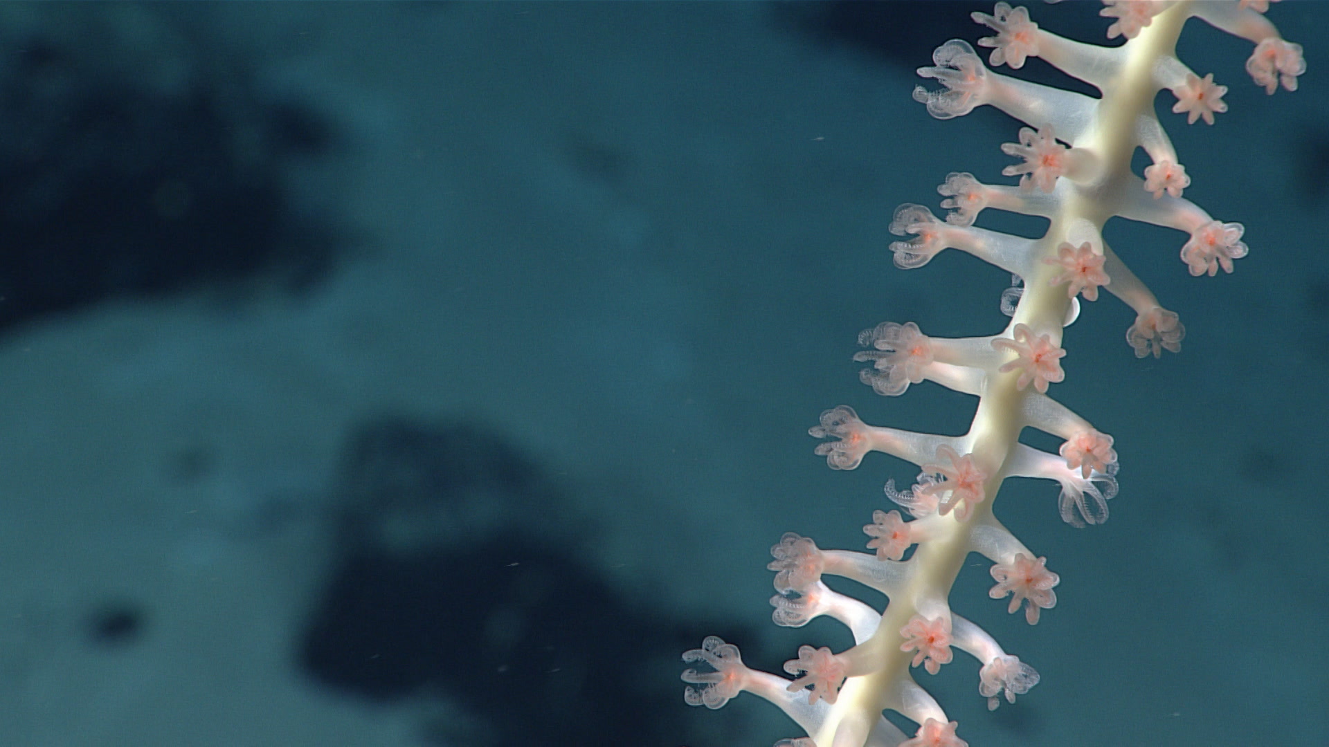
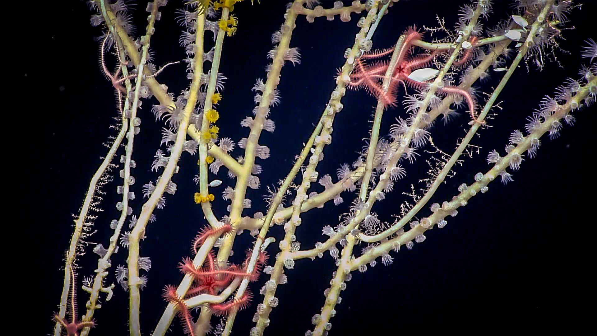
2021 North Atlantic Stepping Stones: New England and Corner Rise Seamounts
The Okeanos Explorer expedition supports two of the Sargasso Sea Commission's overarching goals - to promote international recognition of the unique ecological and biological nature and global significance of the Sargasso Sea, and to encourage scientific research to expand existing knowledge of the Sargasso Sea ecosystem in order to further assess its health, productivity and resilience.
Many of the deep sea dives the expedition is undertaking take place within the Sargasso Sea Commission's Area of Collaboration, and the provided livestreams of each dive promote awareness of the incredible ecosystems found in the deep Sargasso Sea. In addition, every dive builds upon our collective knowledge of deep sea coral and sponge communities, and and each square kilometer of mapping data collected reveals something new about the seafloor.
 Credit: NOAA Okeanos Explorer 2021 North Atlantic Stepping Stones: New England and Corner Rise Seamounts
From June 30 through July 29, 2021, NOAA Ocean Exploration and partners will conduct the 2021 North Atlantic Stepping Stones: New England and Corner Rise Seamounts expedition, a telepresence-enabled ocean exploration expedition on NOAA Ship Okeanos Explorer to collect critical baseline information about unknown and poorly understood deepwater areas off the eastern U.S. coast and high seas. During this expedition, at-sea and shore-based science teams will work together to map the seafloor and observe many targeted sites in this region for the first time. Remotely operated vehicle (ROV) dives are planned from July 2 to July 28, at depths ranging from 250 to 4,000 meters (820 to 13,124 feet).
Mapping and ROV operations during this expedition will include, but are not limited to, exploration of deep-sea coral and sponge communities, fish habitats, areas predicted to have high levels of marine mineral accretion, deep seamount flanks and guyot summits, ridge seamounts, ecosystems of the Northeast Canyons and Seamounts Marine National Monument, and other unexplored areas in the New England and Corner Rise Seamounts. The data collected during a total of 25 planned ROV dives along with collected mapping data will enable scientists and managers to build a better understanding of the diversity and distribution of deepwater habitats in this region, allowing for informed resource management decisions.
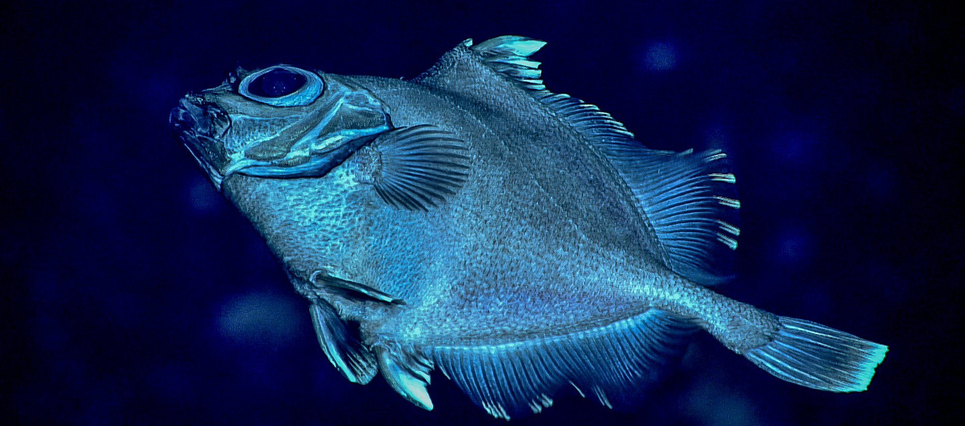
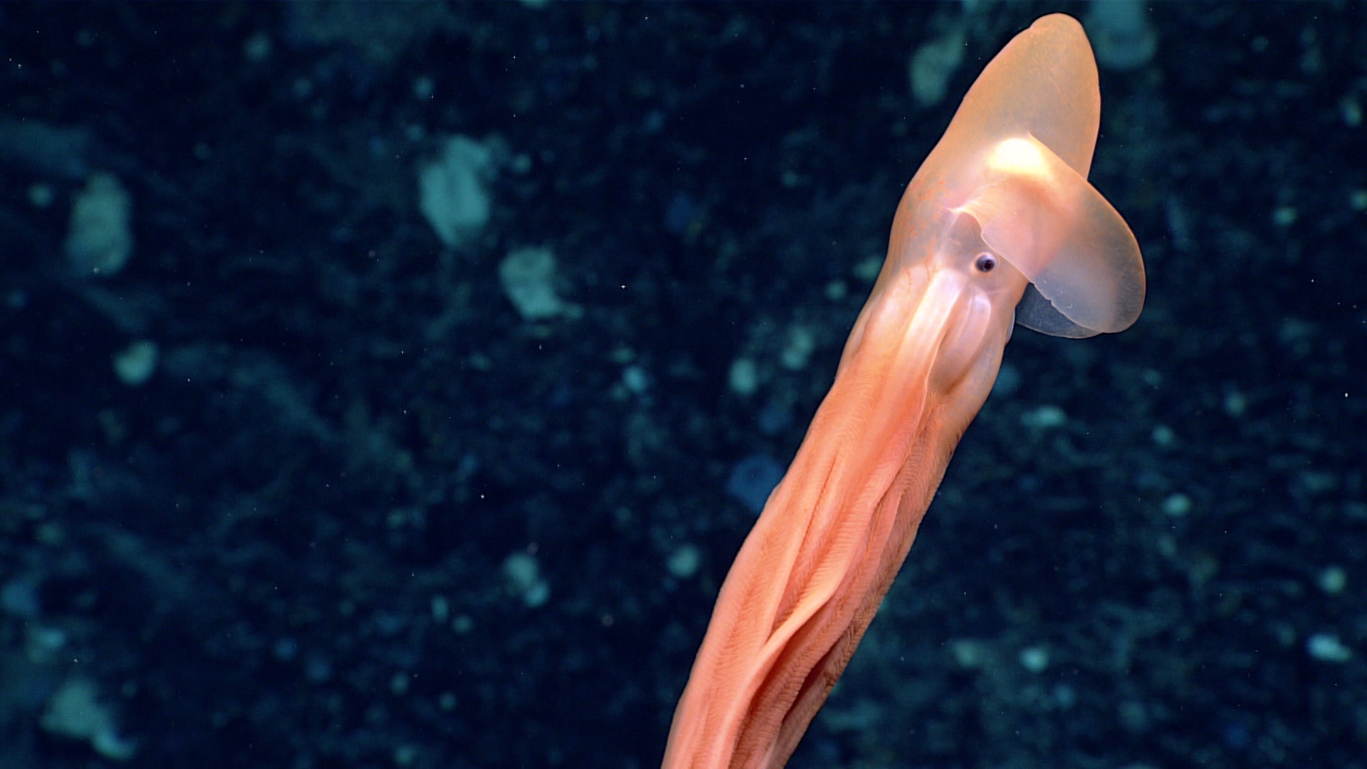
Windows to the Deep 2021: Southeast U.S. ROV and Mapping
The NOAA Okeanos Explorer is undertaking the 'Windows to the Deep 2021: Southeast ROV and Mapping' expedition from October 26th-November 15th in the southeastern U.S. continental margin. The expedition will collect critical information about unexplored and poorly understood deepwater areas of the Blake Plateau region of the North Atlantic Ocean. This foundational information will encourage further exploration and research and inform resource management decisions and activities in the region.
The purpose of the expedition is to explore and map the seafloor and water column. It will complete ROV dives in the region, take samples, acquire data on deepwater ecosystems, identify and map benthic habitats, explore U.S. maritime heritage, and investigate biographic patterns in deep sea ecosystems. The ROV dives are live-streamed, allowing anyone to view the expedition's activities in real time. Mapping activities will take place at night.
You can view the Okeanos Explorer livestream below.